Today’s Atlantic Intracoastal Waterway (ICW) reaches between Norfolk, VA and Miami, FL, continuing down through the Keys. Interest in creating an East Coast protected inland water route for industry and commerce began in the early 1800’s. It took 100 years before a study was made by The Army Corps of Engineers. Recommendation: a canal 12 feet deep. The first cut was made right here in coastal North Carolina where we are now. It connected the Newport River at Morehead City to the Neuse River at Oriental. Over time, more rivers and creeks and sounds and cuts made through land masses were dredged 80 to 150 feet wide. Red and green day markers, most on poles but some floating in the water, were added to show the edges of the deepened water. Many of the bodies of water look expansive, but often have less than 5 feet depth of water. Over time, shifting sands have caused sections of the dredged waterway to become quite “skinny” in places.
To allow passenger and commercial vehicles and trains to cross the ICW, mostly to reach barrier islands, bridges span the waterway. Recent construction has favored the 65 foot high fixed bridge, allowing most boats, including sailboats, to pass under the span. Earlier lower construction requires a bridge tender to open a section of the span by lifting or swinging. The openings can be on a schedule or by request. Making progress along the ICW even more difficult, swing bridges cease to operate in winds over 35 mph. Transiting the waterway spanned by bridges can make a day’s travel complicated because timing is everything.
The ICW is now 3,000 miles long. It crosses from Stuart on the East Coast of Florida to Ft. Myers on the West Coast. To accomplish this amazing feat, the Atlantic waters of the St. Lucie Canal connects to Lake Okeechobee then on to the Caloosahatchee River, emptying into the Gulf of Mexico. Five locks lift vessls up to the lake level and down.
Another section allows safe inside passage up the West Coast from Ft. Myers/Cape Coral to Clearwater/Tarpon Springs.
The last section begins across the Gulf of Florida at Carrabelle/Appalachicola and continues through the panhandle of FL, then along the coasts of AL, MS, LA and TX, ending at Brownsville.
It takes continuous attention fueled by taxpayer money to keep the ICW system flowing smoothly. Hopefully Americans will see the ICW as a National Treaure worthy of their time and money for many years to come.
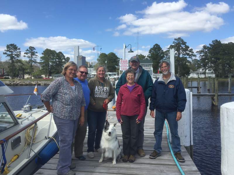
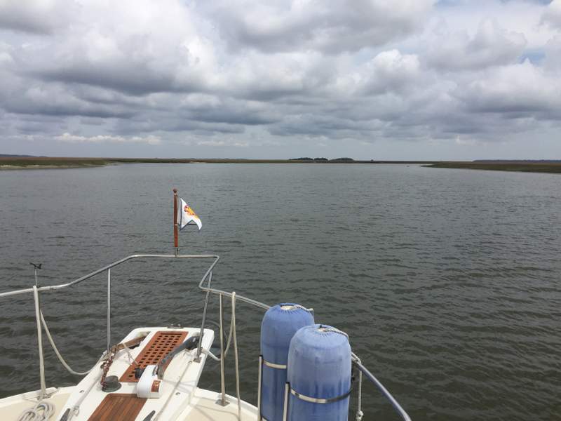
Today the recreational cruising community has joined the commercial vessels: fishing boats, cargo ships, barges/tugs/tows, tour boats, etc. on the ICW. With access to internet and modern communication technology, cruisers can communicate with each other. We identify and report problems to each other that can help prevent damage to boats and injury to the boat handlers. Those timely “cautionary tales” have saved money, time and heart-ache. Commaraderie amongst cruisers is legendary.Now we share a collection of our ICW photos taken during our 2016 cruise.